Italian National Agency for New Technologies, Energy and Sustainable Economic Development

MEDIA - Press office ENEA
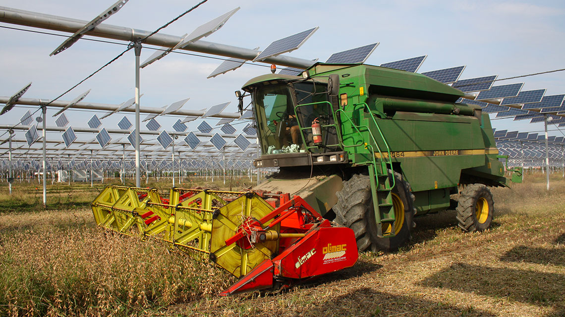
Energy: ENEA’s map of potential agrivoltaic on a regional scale
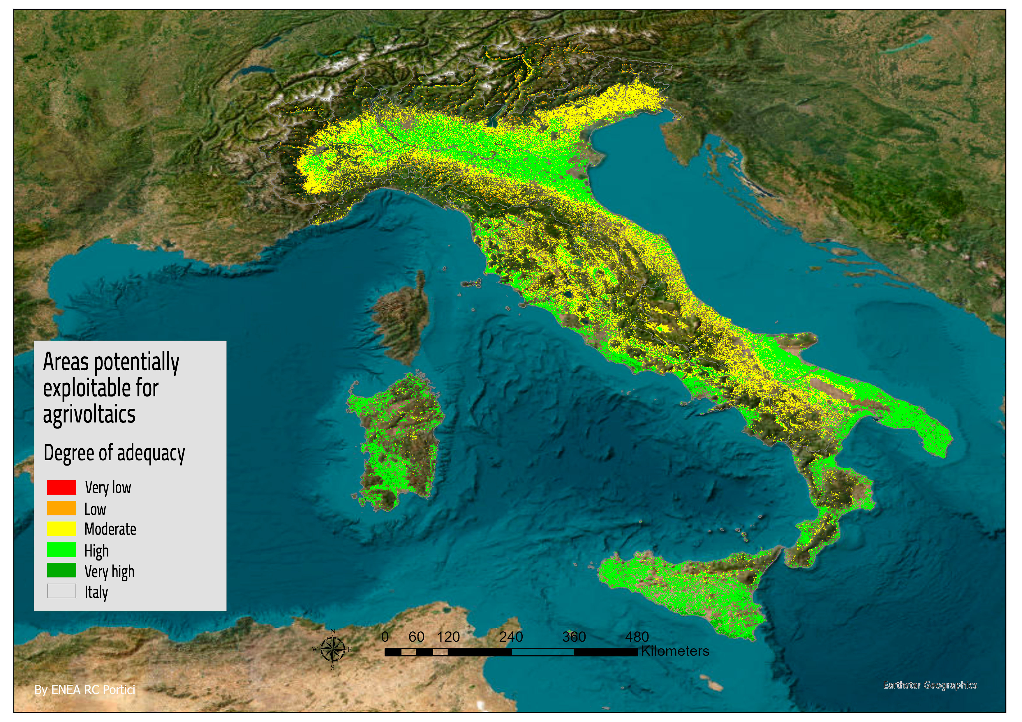
ENEA has created a map of the national agrivoltaic potential on a regional scale capable of supporting PAs in planning the development of the sector. Developed by a team at the ENEA Research Center in Portici based on criteria for limiting land use and optimizing energy and agricultural production, the map is now being validated and will be accessible online in the future.
The map was created within the task force AgrivoltaicoSostenibile@ENEA and Italian Sustainable Agrivoltaic Association (AIAS) chaired by ENEA, which already counts 85 members and supports the development of agrivoltaics through projects, innovative technologies, certification protocols and training paths.
“The potential of agrivoltaics in the national context is usually assessed on the basis of topographical characteristics and extension of available agricultural areas,” explained Grazia Fattoruso at the ENEA Laboratory for the Development of Digital Photovoltaic and Sensor Applications at the Portici research centre. “The method developed in our Geomatics laboratory considers both the different factors that can influence the solar photovoltaic potential of a given area, geophysical, technical orenvironmental, and those that can affect agricultural yield, like land use classes[1], land use capacity[2] and water deficit”.
The criteria used to develop the agrivoltaic potential map were selected on the basis of the results of interviews to a team of experts, scientists, researchers and subjects with different interests like designers, developers and decision-makers in the energy and agricultural fields.
Starting from the map and thanks to the interaction with AIAS stakeholders, indicators of agrivoltaic potential at regional and national level were developed. Furthermore, the development and integration of indicators relating to qualitative and quantitative characteristics of the landscape, for a harmonious union between agrivoltaic systems and the landscapes, is under way .
AIAS has 85 members including institutions, trade associations and companies in the sector, distributed according to 5 strategic priorities: technological solutions; energy; agri-food; research, education and consultancy; finance, legal and administrative protection. Its task is to provide a contribution to the energy transition by supporting the agricultural sector in the challenge of climate neutrality, producing "more with less". Agrivoltaics also enables agricultural operators access new resources, the best technologies and new design practices, in a country like Italy with high-quality crops and agricultural production.
The tools put in place include establishment and coordination of 6 commissions, actual permanent, qualified and interdisciplinary working groups, to support the bodies responsible for the implementation of agrivoltaics on the following topics : sustainable agrivoltaic certification; legislation and implementation; training; energy and agricultural technologies; international sector; landscape.
The commissions' activities include exchange of information and good practices, collaboration in experiments to provide answers to common research questions special initiatives, documents and guidelines and events for sharing the work carried out. Another strategic objective of the AIAS is training, crucial for sustainable agrivoltaics, a "hybrid field" made up of two distant worlds, energy and agriculture, characterized by the need to identify specific training and new professional figures.
“It is important to underline how crucial training is for the entire agricultural system, which in recent years has been affected by changes demanding innovation”, pointed out Alessandra Scognamiglio, ENEA researcher at the Innovative Devices Laboratory of the Portici Research Center and president of the AIAS . “In this context – she said – sustainable agrivoltaics is an 'aggregator' capable of systematizing innovations based on the needs of the operators involved. Our goal is to carry out a synthesis of knowledge that can translate into specific training courses to support the implementation of sustainable agrivoltaic systems, where the beauty of the landscape combines with energy and food generation"
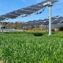
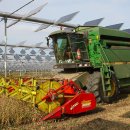
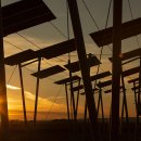
Photogallery

Notes
[1] Map of coverage and land use - Corine Land Cover https://land.copernicus.eu/pan-european/corine-land-cover
[2] Soil use capacity map: soils are grouped according to their capacity to produce agricultural crops, fodder or wood without undergoing degradation, i.e. to maintain their level of quality (see for example the Map of the Lazio Region https://geoportale.regione.lazio.it/layers/geosdiownr:geonode:arsial_lcc_250K_suoli_lazio)