Italian National Agency for New Technologies, Energy and Sustainable Economic Development

MEDIA - Press office ENEA
Energy: New maps to calculate urban photovoltaic potential
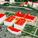
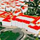
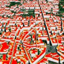
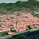
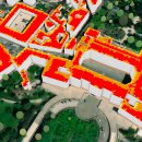
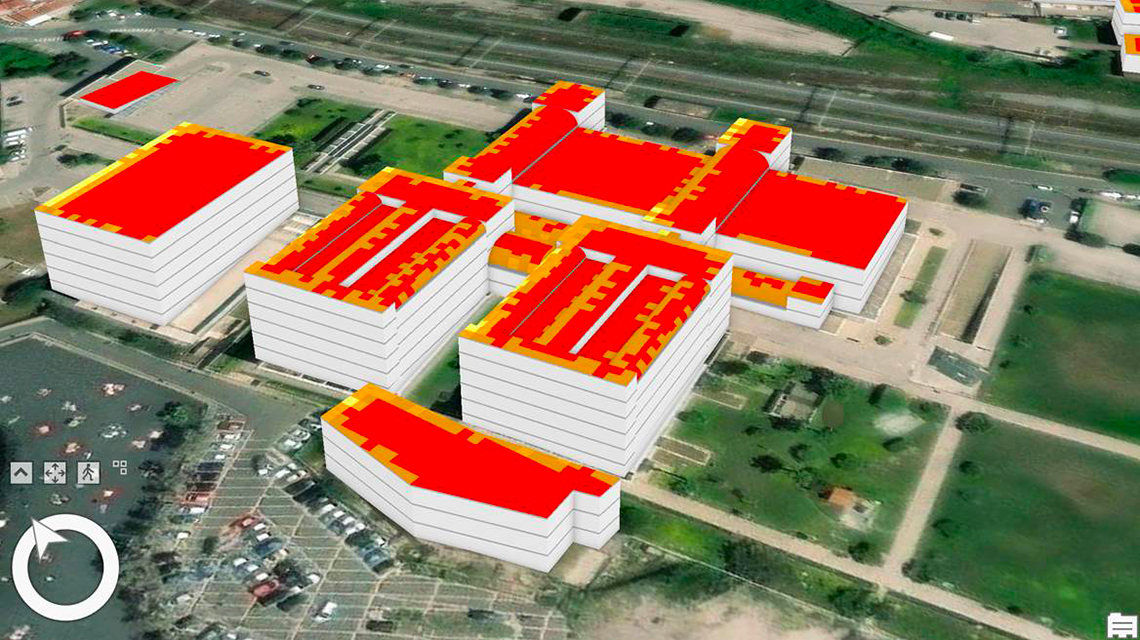
Researchers at the ENEA Center in Portici (Naples), in collaboration with the University of Naples Federico II, have created a high-resolution three-dimensional cadastral map to calculate the photovoltaic energy potential to be installed on roofs or other suitable urban surfaces.
"This GIS tool [1] allows to accurately assess the potential photovoltaic energy that can be produced in a city, taking into account geometry of buildings, green areas, air pollution and human activities", explained Grazia Fattoruso, ENEA researcher at the Development of Digital Photovoltaic and Sensor Applications Laboratory and project manager. "Its use - she continued - can support local and regional administrations in planning and managing renewable energy, to achieve the objectives of the energy transition in which cities step up with initiatives to mitigate energy poverty".
This "solar cadastre" was created through 3D city maps that highlight urban greenery and buildings geometry, identifying the real "roof area" available to install photovoltaic panels. In addition, ENEA has developed a method evaluate the reduction of solar radiation caused by fine dust pollution, making it possible to calculate the effective solar radiation available, also considering the orientation of roofs, shading of buildings and surrounding vegetation.
The solar cadastre has already been tested in Portici, where it has been estimated that the installation of photovoltaic panels on potentially suitable roofs would make it possible to generate approximately 500 GWh/year.
"By knowing the photovoltaic potential of the entire city and each usable surface, it is possible to identify the most suitable areas for renewable energy production and those at greater risk of energy poverty due to socio-economic factors, favoring the creation of energy communities energy” concluded Fattoruso.
ENEA has already proposed to systematize the creation of energy communities with strategies against energy poverty for sustainable mobility, using part of the renewable energy from photovoltaics produced on an urban scale by the communities, to recharge electric vehicles.
In the context of urban development plans, this GIS system can also support the development of the New European Bauhaus initiative, launched in 2021 by the President of the European Commission, Ursula von der Leyen, to combine the fight against climate change with design and art.
Fotogallery